Nov 16, 2026
Generic flood-zone PDF vs. an imagery-checked hazard register
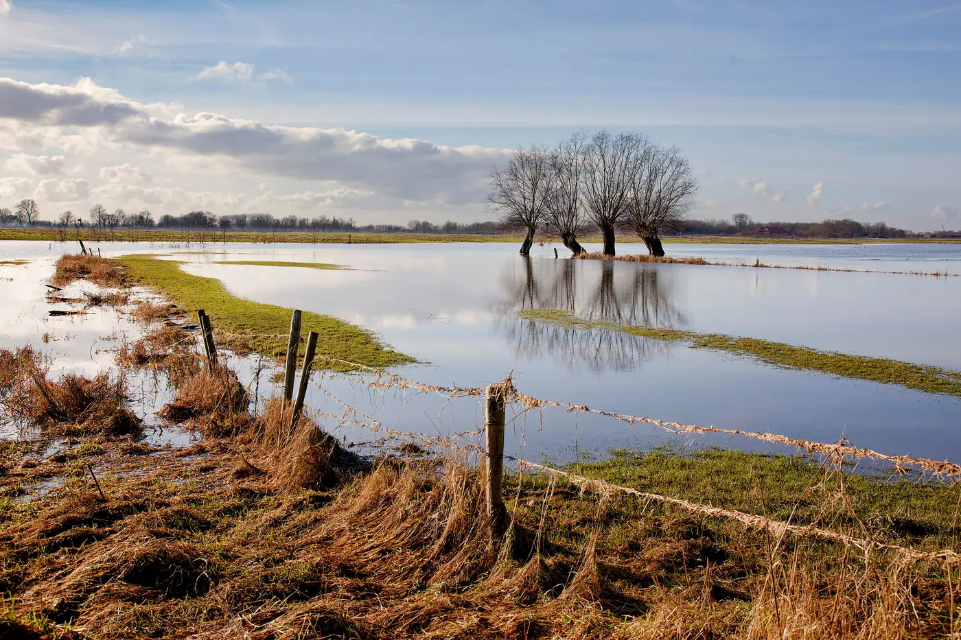
Most supplier risk registers start the same way: someone pulls flood maps, cross-references supplier addresses against zone codes, and drops a Y/N flag into a spreadsheet column labeled "flood exposure." It takes an afternoon. It also tells you almost nothing about the actual site.
What a flood-zone PDF tells you
A flood-zone designation is drawn at the scale of a watershed or a municipality, not a parcel. The line on the map marks where the modeled 100-year or 500-year floodplain sits, based on elevation data that might be a decade old. It doesn't know that a supplier's warehouse sits on a berm six feet above the surrounding lot, or that the loading dock on the north side floods every spring even though the building footprint falls outside the mapped zone.
The PDF also only covers flood. It says nothing about whether the site sits in a wildfire fuel corridor, on a slope prone to slipping after heavy rain, or low enough along a coastline to take a storm surge. A procurement team building a hazard register from flood PDFs alone is answering one question for every site and leaving three others unasked.
And because the zone boundary was drawn once, by an agency working at a scale meant for insurance underwriting and floodplain management rather than supplier risk, it doesn't move when the terrain around the site changes. A new retention pond upstream, a culvert that's silted in, a hillside regraded since the data was collected. None of that shows up in the version your analyst downloaded three years ago.
What changes when you check it against imagery
An imagery-checked register starts from the same question, where does water, fire, or slope put a given site at risk, but answers it by looking at the ground the supplier sits on rather than the zone it falls inside on a public map. High-resolution satellite imagery shows the terrain around the building footprint: how close the structure sits to a drainage channel, how much dry vegetation surrounds a facility in a fire-prone region, how steep the grade is behind a site built into a hillside.
This doesn't replace the flood-zone data. It adds a check against it: the modeled boundary held up against what's actually on the ground. A site can sit outside the mapped floodplain and still show standing water on imagery after storms. A site can sit inside the mapped zone on elevated ground that's never taken water in its history. The PDF gives you the modeled boundary. The imagery gives you the parcel.
It also covers the hazards the flood PDF was never built to answer: wildfire fuel load around the perimeter, landslide-prone terrain for sites on slopes, storm surge exposure for coastal facilities. Reading multispectral imagery at parcel scale puts all four into one screening pass instead of chasing four different public data sources, three of which may not even exist for a given country.
Building a register instead of a one-off check
A flood PDF check is an event. Someone runs it, fills in the column, and it sits there until the next ERM cycle forces a refresh, by which point half the supplier list has turned over anyway. A register built against imagery works on a different clock. It's meant to run on a cadence, once a year, against your current supplier footprint, with a numbered entry per site, the hazard type, the exposure tier, and the imagery basis for the call.
When a site's exposure changes, the register entry changes with it. When a new vendor gets added, it gets screened against the same four hazards as everything already on the list, not a flood-only check that someone meant to follow up with a fire and slope review and never did.
Supply Chain Hazard Mapping runs that annual screen across your full supplier footprint and hands back a ranked hazard register showing which sites sit in harm's way and by which hazard, with the imagery basis attached to each entry. If your current register is a spreadsheet built from flood PDFs nobody's checked against the actual site, it's worth seeing what one built the other way looks like.